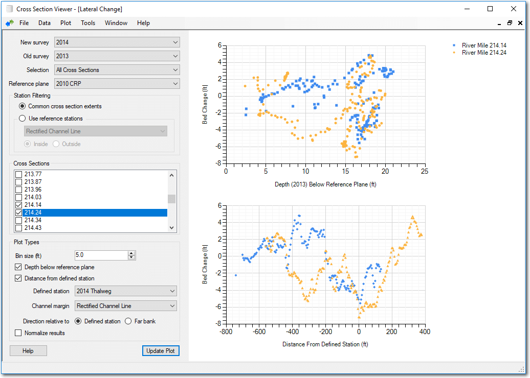
This tool provides geomorphic summary information on the relationship between the shape of cross-section change relative to depth or distance from a defined location. For example, this tool can quantity statements such as “the deeper areas filled in” or “the channel degraded by lowering the sand bars rather than the thalweg.” Other uses include defining floodplain deposition level with respect to channel banks or levee breach locations.
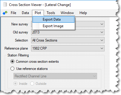
Export
The current plot can be exported to either an image file or the underlying data as a comma separated value (CSV) text file.
When using a CSV file, the output file includes the following fields:
- Cross Section ID - The cross section viewer database unique identifier of each cross section.
- River Mile - The cross section river mile.
- Station - The midpoint of the station bin for which the rest of the values refer. i.e If you selected a 5ft bin size, then the first station value will be the station of the leftmost cross section station plus 2.5 (see station filtering above).
- New Elevation Depth Below Ref - The average depth of the bed in the new survey below the reference plane.
- Depth Below Old Elevation - The average depth of the bed in the old survey below the reference plane.
- Bed Change Between Surveys - The difference between the average depth of the bed in the two surveys.
- Defined Station - The station distance of the defined station for this cross section.
- Distance From Defined Station - The distance between the middle of the bin and the defined station for this cross section. Negative values indicate that the bin midpoint is left of the defined station.
- Distance From Defined Station Relative To River - The distance between the middle of the bin and the defined station adjusted for the position of the defined station. Positive values occur between the defined station and the farthest bank from the defined station. Negative values occur between the defined station and the nearest bank to the defined station.
- Left Channel Margin - The station of the left bank channel margin.
- Right Channel Margin - The station of the right bank channel margin.
- Channel Width - The distance between the right and left channel margin banks.
- Closest Bank - L indicates that the defined station is closest to the channel margin left bank. R indicates the right bank.
- Defined Station To Closest Bank - The distance between the defined station and the closest bank.