The river miles, bend and cross section information is exported from the database to Keystone Markup Language (KML) format for display in the map viewer. You can also use these KML files in other GIS software such as Google Earth, ArcGIS and QGIS.
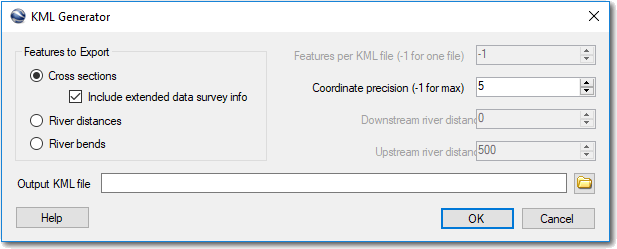
Features to export - Choose the type of features that you want to export. When generating a cross section KML file you can optionally include the names of the surveys in which each cross section was collected. Note that this is needed to support the popups in the map viewer, but that it does increase the size of the KML file generated.
Coordinate precision - You can control the number of decimal places used when the latitude and longitude for each feature are written to the KML file. Use -1 to write the maximum number of decimals places stored with the data in the database. Using fewer decimal places will create a smaller KML file but will degrade the accuracy of the GIS features generated.
Downstream and upstream river mile - When generating a river mile KML file you can filter the range of points using the upstream and downstream controls.