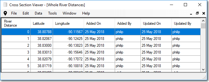
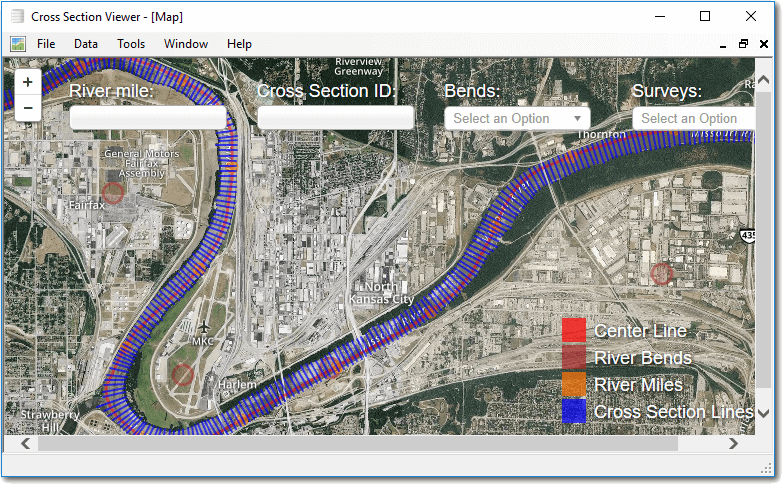
The cross section viewer maintains a list of whole river mile locations on the Missouri River. These locations are only used in the map viewer and are not part of any cross section viewer analysis tool.
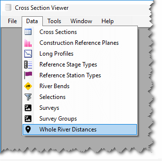
To view coordinates of whole river miles (i.e. 1, 2, 3 ….), select Data then Whole River distances. A grid appears showing the latitude and longitude (in decimal degrees) for each of the whole river miles on the Missouri River. These values are not editable within the Cross Section Viewer software and can only be adjusted by opening the underlying database using Microsoft Access.
Users can export the list of whole river mile locations by clicking the Export item within the Edit menu. A comma separated value (CSV) file is produced of all the values contained in the current database.